


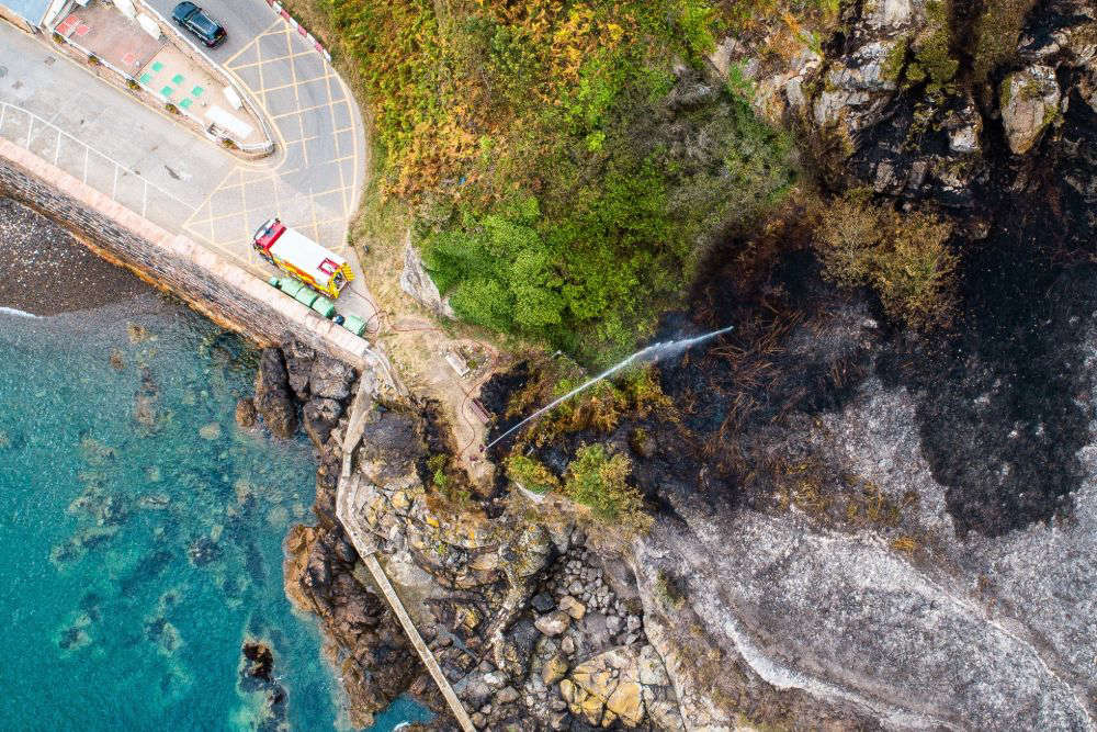
The risk of wildfires in Jersey has been raised to 'extreme'.
With the island in the grips of a third heatwave of 2026, Jersey Met has issued a Level 5 fire severity risk, meaning should a wildfire start, the current weather conditions would rapidly make it an extreme situation.
Dry land and vegetation, combined with hot sun and breezy winds mean any spark would spread rapidly.
Jersey Fire and Rescue Service says lighting anything poses a huge risk - including BBQs.
Other risk factors include not disposing of cigarettes or glass correctly.
Station Commander Chris Smith says wildfires are a preventable drain on resources.
"They are among the most challenging for firefighters to attend.
"They are extremely resource-intensive, requiring significant numbers of firefighters and specialist equipment, and a significant wildfire in Jersey could place considerable demand on the emergency services.
It has topped 30°C everyday this week, with no rain. The high temperatures are predicted to continue across this weekend and into early next week, with only a small chance of showers on Monday or Tuesday.
The light winds we've been having are due to include to moderate to fresh, even strong F6 by Monday.
"In prolonged heat and dry weather, the vegetation becomes extremely dry and can ignite very rapidly. Combine that with the strong winds, even a small fire can spread rapidly.
"The usual suspect areas are around the north coast, Les Landes, Portelet, so we're asking people to be vigilant."
This week, Jersey firefighters have been undertaking specialist wildfire training in Trinity to prepare for a potential blaze on open land.
 Storm Austen: All you need to know
 Haut Du Mont: Jury fails to reach verdict on third gas worker
 Storm Austen: Government schools to close on Friday
 Haut du Mont: Gas workers convicted of manslaughter
 Campaign encourages potential child sex offenders to seek help
 Electric car charger grant to end in December
 Consultation launched on hate crime legislation
 Plans for Fort Regent transformation fall behind




Comments
Add a comment