


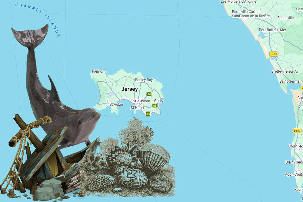
A new digital atlas for Jersey makes it easier to see shipwreck locations, marine habitats and records of dolphin activity.
An interactive map has been created of Jersey's Marine Spatial Park.
The tool has been developed by government to help people understand the 90% of Jersey hidden below the tide line.
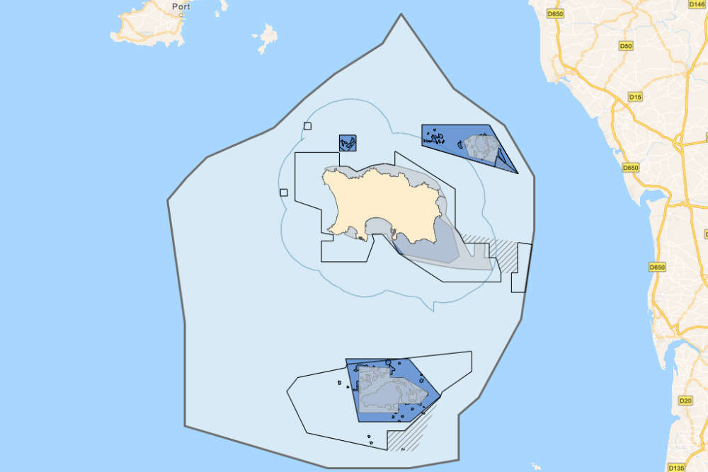
It includes the new marine protected areas where dredging and trawling will be banned in two stages, starting this September.
The maps and charts can be seen at Jersey Marine Spatial Plan
Layers include known shipwreck locations and their date of sinking, a dolphin index showing activity collated from hydrophones that are stationed around Jersey, and a base map that shows the extent of Jersey’s territorial waters.
The atlas was created between I&E's Marine Resources team and Geospatial team to bring the map layers together in a way that is accessible for public viewing.
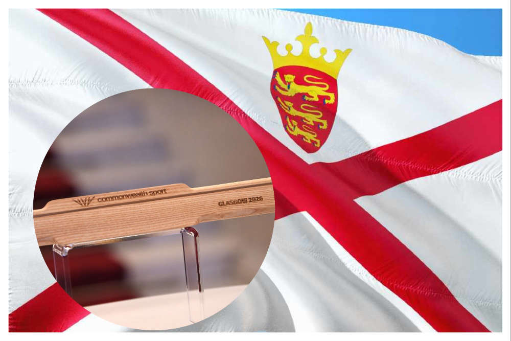
 Nowacki wins Jersey’s first Commonwealth Games medal in 36 years
 Thousands expected at Havre Des Pas Festival this weekend
 Commonwealth Games: Nowacki into 100m breaststroke final
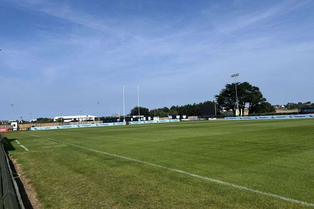 Channel Islands face 'physical' Poland test
 Price of heating oil and other fuel increase by more than half in a year
 Man jailed for importing nearly £600k worth of cannabis in bumpers of his car
 Baby born on Guernsey's Marine Ambulance
 Drug trafficker who claimed he was the ‘Accredited Dealer' jailed


Comments
Add a comment