


Daytime highs in the 30s and nighttime temperatures around 20°C are forecast for the Channel Islands.
The heatwave continues across the Channel Islands, with more temperature records expected to be broken.
Yesterday, Jersey recorded highs of 30.1°C, beating the previous May record of 28.9°C set in 2003.
Jersey Met predicts that the record will be broken again today with highs of 33°C, and again tomorrow with temperatures reaching 34°C.
In Guernsey, temperatures reached 26.8°C yesterday, breaking the previous May record of 25.9°C.
Forecasters expect those records to be broken again over the next two days, with temperatures forecast to hit 30°C and then 31°C.
Senior forecaster Matt Winter explains what is causing the heatwave:
"We've got high pressure very close to the Channel Islands at the moment.
"It's not really shifting too much, basically one high tends to sort of dissipate and then another high builds over the top, which means the air is not moving around and changing at all, and we're sort of continuing to heat up the lowest layers of the atmosphere where it's trapped below that high pressure system.
"We're expecting to beat previous maximum temperatures by a really significant margin, which is quite rare, and also quite worrying to see.
"It's looking like the real results of climate change are kind of upon us with these sorts of scenarios."
There is no escaping the heat at night.
"Tonight I think we're actually expecting temperatures to probably not drop below 20 degrees Celsius, and a similar story for Tuesday night into Wednesday.
"When the temperature doesn't drop below 20 degrees in sort of meteorological terms, it's known as a tropical night.
"We don't see that many of those each year, and sometimes we don't see any of them, but we certainly don't see them very often at all this early in the year."
The sunshine is expected to last all week, but temperatures are expected to dip slightly to mid to low 20s by Thursday.
"We have winds coming from an easterly direction, which is helping to draw in heat from France as well.
"When the wind swings around to more of a westerly direction, it's coming in across the sea, which is a cooler direction.
"Although temperatures are going to be lower on Thursday, they're still expected to be higher than average for this time of year.
"Our maximum temperature will be 15 degrees above what we'd normally be seeing on average for this time in May."
Public Health advice in hot weather:
Extreme heat can cause heat exhaustion, heatstroke and dehydration. Older people and children are particularly at risk.
There are lots of ways you can keep cool and reduce the risks:
- stock up on food and drink supplies so you don't have to go out into the heat everyday
- avoid going outside during the hottest time of day 11am to 3pm
- leave strenuous activities like gardening or DIY for later on in the day when it is cooler
- take cold baths and showers
- drink plenty of fluids but avoid coffee and alcohol
- provide shade for babies with parasols
- freeze ice lollies for children
- keep your home cool by closing curtains, opening windows and using fans
- when you go out wear a sun hat and loose light clothing, try to stay in the shade and carry water with you
 Annual Guernsey Scarecrow Festival set to raise thousands for charity
 Channel Islands face 'physical' Poland test
 Baby born on Guernsey's Marine Ambulance
 New interim leader for Guernsey's healthcare system
 Guernsey's reservoir levels falling after prolonged dry spell
 Guernsey's Commonwealth flag carrier in early Games win
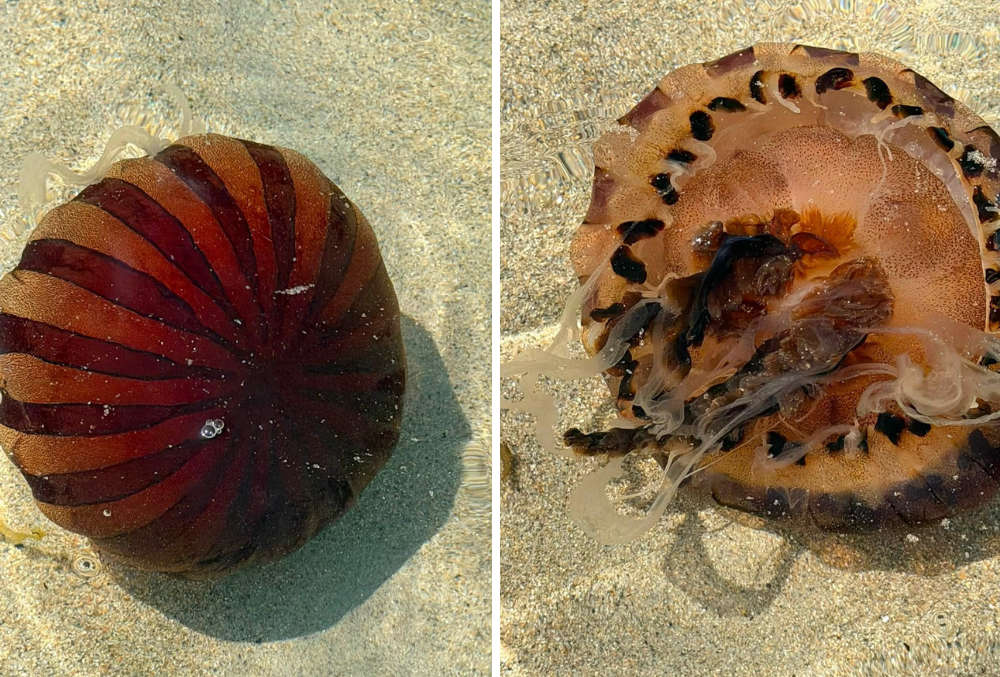 Abundant year for jellyfish in Guernsey waters
 Battery fire ignites in Guernsey waste processing centre