


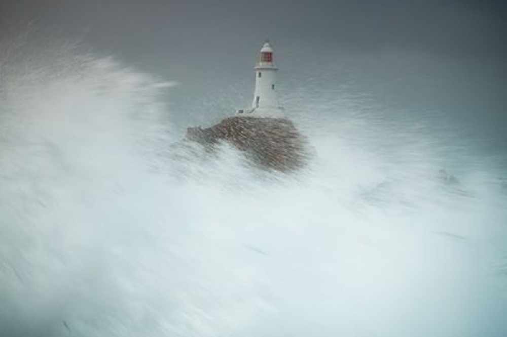
55mph winds are due this evening as Storm Brendan arrives in the Channel Islands.
It's set to be a similiar story tomorrow afternoon, with gale force 8 winds expected.
Wind Warning 42/01 issued 08:42 UTC Monday 13 January 2020 pic.twitter.com/K1DY42GOI4
— CI Weather Warnings (@Jersey_MetCI) January 13, 2020
Tomorrow's Condor Clipper has been cancelled as a result.
An orange tide warning has also been issued, with water and debris expected to crash over sea walls tonight and tomorrow morning especially along the south coast.
Jersey Coastal Flood Warning, issued 09:14 UTC Monday 13 January 2020. pic.twitter.com/2UxH3zdMd3
— CI Weather Warnings (@Jersey_MetCI) January 13, 2020
The Irish coast has already been battered with 80mph winds, with weather warnings also issued for the west of the UK and the north-east of Scotland.
#StormBrendan is already bringing very strong winds and large waves to the west of Britain.
— Jersey Met (@Jersey_Met) January 13, 2020
This animation is from the UK Met Office model (updated at 6 a.m.) for today and tomorrow. Showing the predicted wind in knots (arrows and numbers), and the waves in feet (colour scale). pic.twitter.com/L2pV9OQoot
 Jersey flights impacted by UK air traffic control issue
 Engine fault sees private jet diverted to Guernsey Airport
 Travel issues ahead of Channel Islands Pride
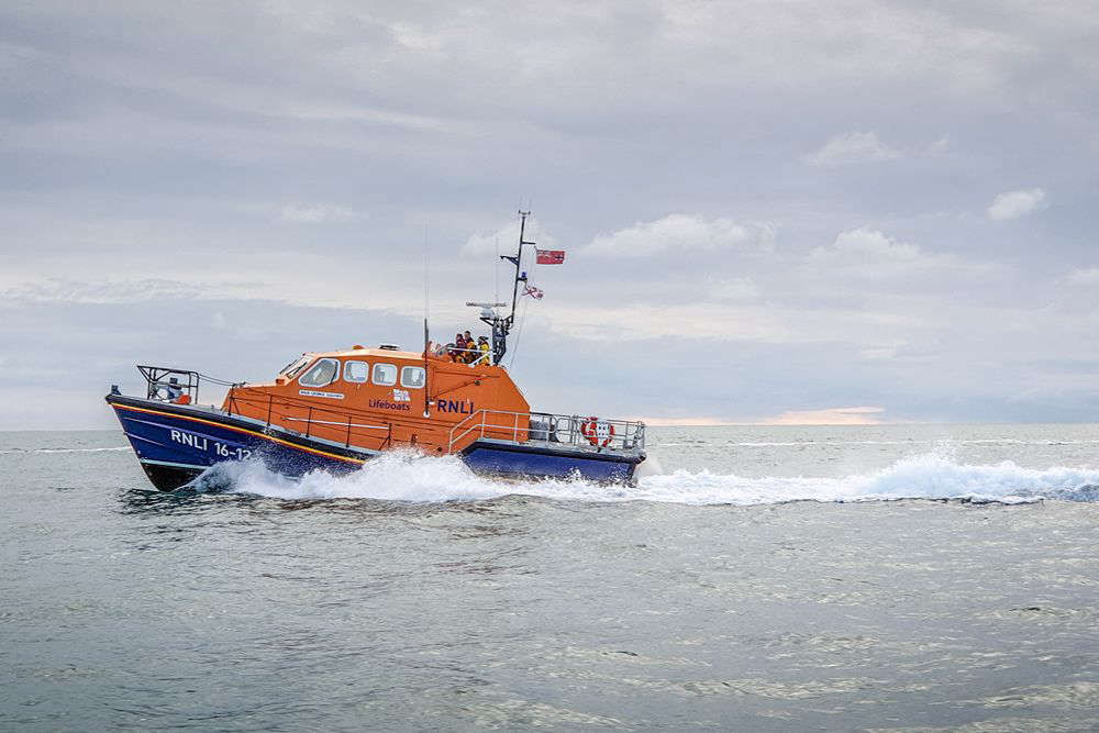 St Helier RNLI to make 'Savings Lives At Sea' TV debut
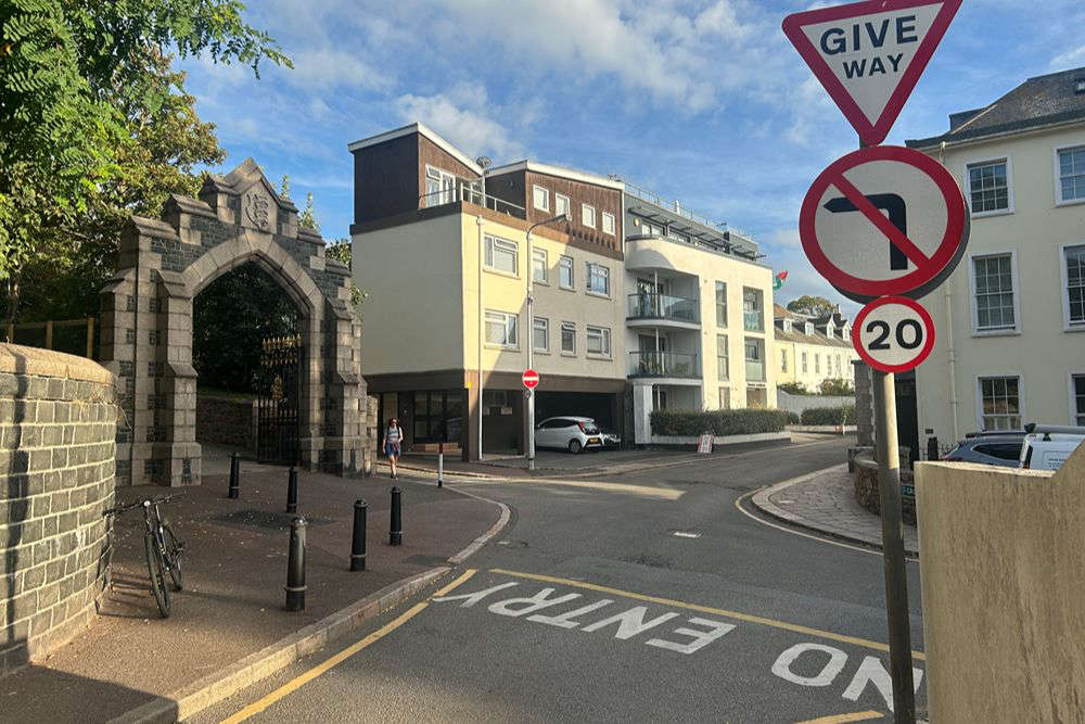 Part-time pedestrian crossing permanent during school terms
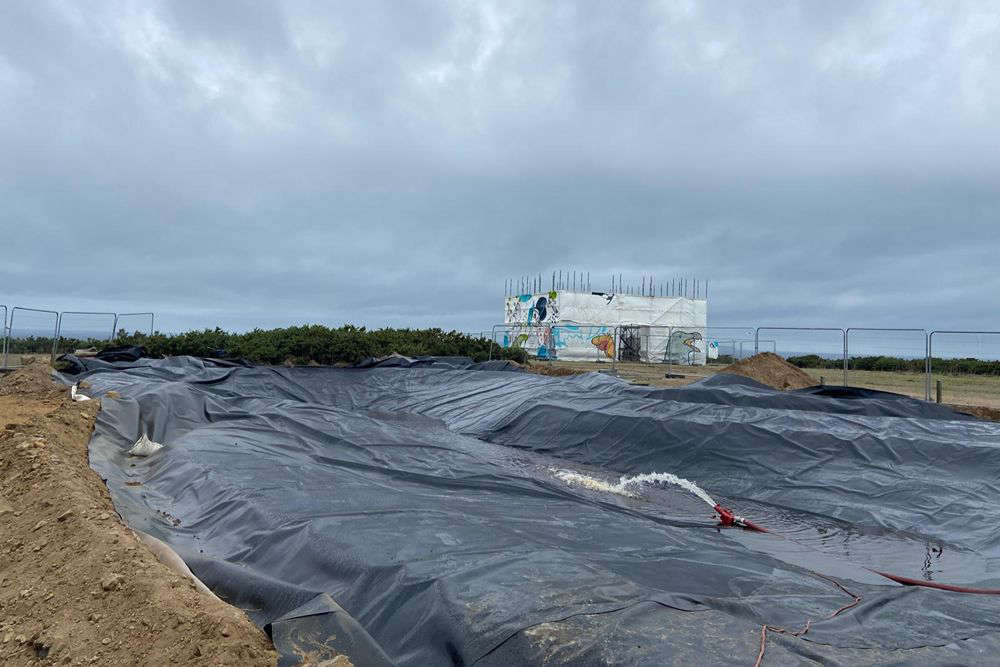 Plémont gets a pond!
 Temporary fuel duty cut proposition withdrawn
 Haut du Mont trial begins




Comments
Add a comment